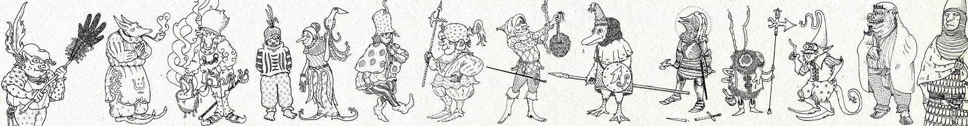


This map was drawn from memory by Stigjaan Akkleus*, as he retraced his 14 journeys throughout southern Bos. Stigjaan was an independent pigment-salesman who documented many of his travels.
Southern Comfort
Sutbosse (meaning South-Bos) is a rural frontier region with only a dozen cities of note. At the heart of the south lies the resplendant Kratat Dominion*, which is spread out over 3 provinces: Brettalengt, Nyvvelengt*, and Vrankke.
To be clear, these ‘provinces’ (by lack of a better word) are not ruled by 1 single political entity. Not even the Dominion has enough might or money to subdue this absolute patchwork of territories. Nor would it want to.
Other regions of note are the Vryvrankke-peninsula, the Sutwette Forest* and Braem, which is so fertile it is rightfully considered the granary of Bos. Lanqedoor* is situated in the bottom-right corner of the map.
Notes
Stigjaan Akkleus — Travelling Talesman. Although a scout for exclusive-commodity traders, he possessed a keen eye for the world around him. He published several travel diaries. His current whereabouts are unknown.
See also: From Dool to Sea
Kratat Dominion — An alliance of city-states under the (coercive) guidance of Great Kratat. Although historically members of the Dominion earned a certain prestige, recent economic upheavals and social strife have turned them into puppets played by the Fromagenet Regnants.
See also: Deyne Kratat, Die Erstekatte
Brettalengt & Nyvvelengt — meaning Bretta’s Land & Nyvve’s Land. For the origin on these names, see the story of Bretta & Nyvve.
Sutwette Forest — An enormous forest, seemingly without end. There are some farmsteads and small settlements along its border but except for woodsmen, trappers and lumberjacks noone ever ventures far into its depths. It is a place of great beauty, with secluded coves, small glittering lakes and sun-kissed clearings.
In all of Bos it is presumably where most of the Woelddemen reside, the ‘wildmen of the woods’.
(From Dutch: Zuid Woud, ‘South Wood’)
See also: Grenggt
Lanqedoor — the ‘Land of Eternal Rule‘
Links
- From Dool to Sea, a travel diary by Stigjaan Akkleus
- Die Erstekatte
- Kratat
- Bretta & Nyvve
- Grenggt
- Lanqedoor


